As it turned out, my plan worked pretty good at first. Thin morning clouds kept me out of direct sunlight all the way to the summit, 2000 feet up from where I began. From the top I could look down over the Swawilla Basin, the southernmost portion of Lake Roosevelt that ends with the Grand Coulee Dam.

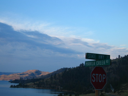
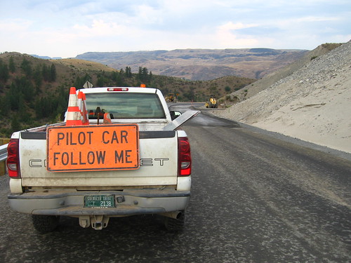
The descent was fast and furious. I was averaging somewhere between 30-35 mph, just flying along, when I saw road construction up ahead. I forced to wait... for 45 minutes. To be honest I really wasn't that frustrated. The clouds were still blocking the sun and I had no agenda for the rest of the day. When we did get going again, I was thankful to be paced. The last few miles of the road, before it hit highway 15, were one of the most ridiculous descents I have ever seen. Sharp corners at a 10% grade with enormous cliffs and no guardrails. The flagger actually told me that there was a pile of cars at the bottom of one cliff, and there was no way to get them up. The construction job was to widen the road so that rails could be put in.
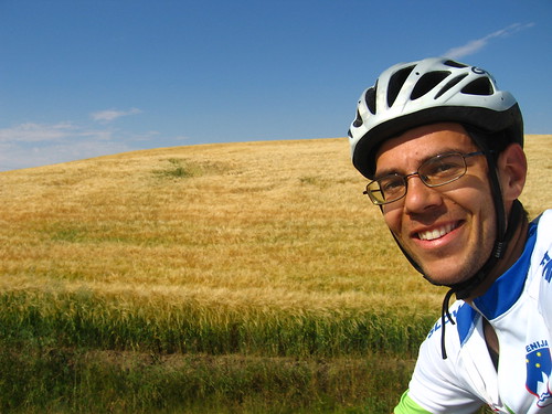
I got going again and cruised through Elmer City. Then it was a short steep climb past the dam itself to the town of Grand Coulee. Time for significant climb #2. I learned that in Eastern Washington, long straight hills are simply referred to as "grades." I was to ride up Coulee Grade and then down Wilbur Grade on WA-174. These grades are my kind of climb. I'm not much of a climber, but because of my build, I really prefer a long, consistent climb to short steep stuff mixed with flat stuff. Above a certain grade and I am in big trouble. Anyway, I found a good steady pace at about 9 mph, and climbed up to the top of Coulee Grade. Near the top, a strong north wind picked up and I finished the climb at 18-20 mph. You can see that I was happy!
The ride down Wilbur Grade is awesome. You can see Wilbur itself 10 miles down the road, 1000 feet lower, and you just go. Even though it was a highway, cars can't pass you very quick when you're going 40!

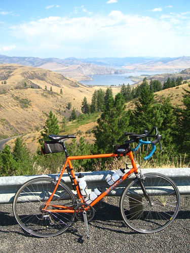
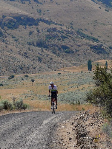
The 5th and final left turn of the day brough me back to highway 21 and I made the final short climb to what Morgan's family refers to as "The Curves": my reward for the day. Here's a photo from the top of The Curves.
The long, sandy driveway made a fun but challenging finale to a great ride. I made it back to find out that Ellen (Morgan's great aunt) had called people along the road to let them know when I road by. I'll probably be in the Wilbur newspaper... again.
As always, click on any photo to see the rest of them on our flickr page. Click here for my ride details.
No comments:
Post a Comment